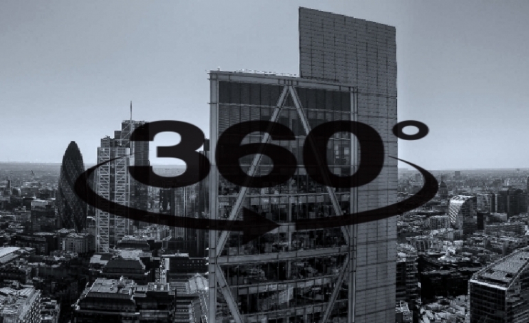
We have been providing interactive 360 panoramic aerial photography drone image data service’s to architects and property developers, within congested cities across the UK with aerial photography drones for many years. Licensed to operate at night or low light we can capture stunning images for your interactive panoramic aerial photography media projects come dusk, dawn, evening.
CAN A DRONE ROOF INSPECTION BE THE TOOL FOR ME drone roof inspections with a drone have been around for many years and are considered the way forward by Insurance Company’s who can use the use of our aerial photography platforms available to hire from £160.00 an hour with live steaming additionally available to conduct a range of drone inspection work…
Meeting your aerial filming DSLR camera needs is part of our commitment to quality & service. With a payload of 20KG, our octocopter DSLR heavy lift drone can eliminate the need for crane cams or filming jibs on set, were a filming crane is difficult to deploy. driven by brushless motors for camera stabilization. The aerial filming gimbal can be controlled by a second remote control unit provided by us enabling control of, Pan 360 tilt. You can choose to use the remote control to move the gimbal given you the freedom to film your subject yourself.
Looking for aerial filming opening sequences to films, closing credits, mountain ranges, over the sea and scenic landscapes, wildlife etc. Our drone filming services can cover any aerial filming requirement come night or day, CAA licensed for aerial filming at night. 4k footage codec H264 will deliver stunning aerial image filming data with plenty of room to edit in your preferred editing software.
Having the experience & professional approach, Helicammedia aerial Photography & drone filming can cover your event from an aerial perspective. From weddings to corporate events, whatever the occasion we have a drone to help.
Drone aerial photography, aerial image data from helicopters or airborne imagery can provide many commercial solutions for a production company’s aerial photography needs. From vertical photography for survey land mapping purposes, 3D modeling mapping to name but a few, many aspects of today’s industry requirements for aerial photography drone use